Naksan Park and the Seoul City Wall
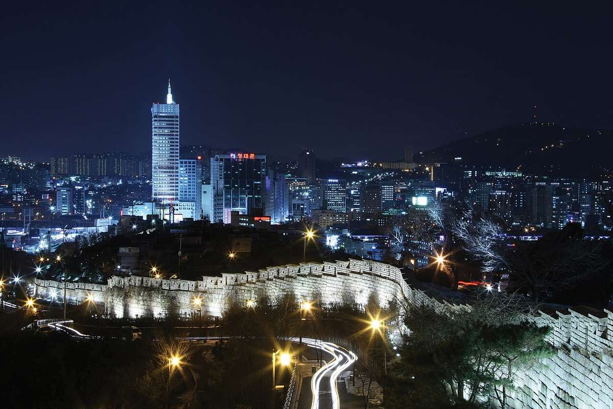
駱山A hill of night views, climbed along a six-hundred-year-old city wall
Naksan is a low hill on the east side of central Seoul, named because its shape recalls a camel's back. The Seoul City Wall, which ringed the Joseon capital Hanyang, runs along its ridge, and Naksan Park lies just inside the wall. About fifteen minutes' climb from Hyehwa Station, the city and Namsan open up beyond the ramparts, which has made it one of Seoul's best night views. Foreign visitors have been coming in greater numbers with the wave of "K-hiking", and more still since the wall trail appeared in "KPop Demon Hunters" in 2025. The alleys of Ihwa village and Jangsu village on the slopes are places where people live, and should be walked with that in mind.
📖 The Story
King Taejo moved the capital to Hanyang in 1394 and in 1396 built the city wall, linking the ridges of four hills: Baegaksan, Naksan, Namsan and Inwangsan. It was built of stone on the hills and of earth on level ground. In 1422 King Sejong gathered workers from across the country and rebuilt the earthen stretches in stone, and after the Japanese invasions it was extensively repaired again under King Sukjong. The circuit is about 18.6 km, and what lay inside it was Joseon's Seoul. The four great gates carry Confucian virtues in their names: Heunginjimun in the east (benevolence), Donuimun in the west (righteousness), Sungnyemun in the south (propriety) and Sukjeongmun in the north (wisdom), with the bell pavilion Bosingak (trust) completing the five at the center.
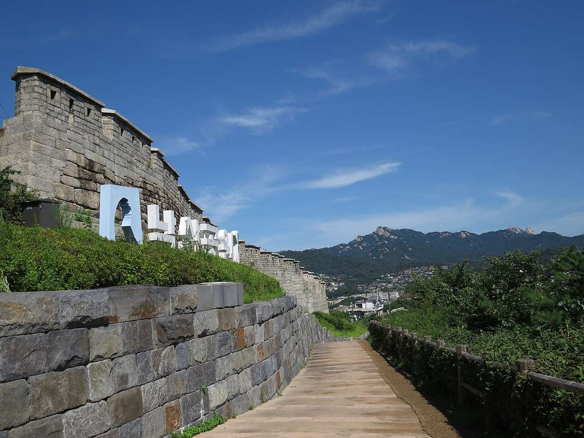
Walk the Naksan stretch and you can see that the stones change shape from section to section. Stones from Taejo's time are roughly dressed fieldstone of every size; Sejong's are shaped like kernels of corn, large below and smaller above; the later Joseon stones are neat squares around 60 cm on a side. Set into the wall here and there are inscribed stones naming the section and the official in charge. They were there so that if a stretch collapsed, it was clear who had built it: an accountability system six centuries old.
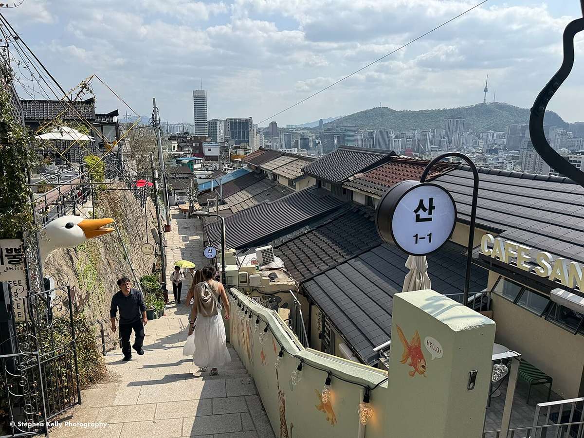
Ihwa village, on the slope outside the wall, was a declining neighborhood earmarked for demolition. In 2006 the Ministry of Culture and Tourism's Naksan public art project painted its walls and stairways, and people started flocking in to take photos. But as the visitors multiplied, residents worn down by noise and litter pushed back, and some even painted over the famous stairway murals themselves. That is why there are fewer murals in Ihwa village today than there once were. Walking Naksan means passing both a six-hundred-year-old wall and the neighborhood of people living their lives beneath it.
✦ Highlights
- ›Naksan Park lookoutThe plaza near the top, inside the wall. Downtown towers and Namsan spread out to the west and the ridges of Bukhansan to the north, making it one of Seoul's best night views.
More
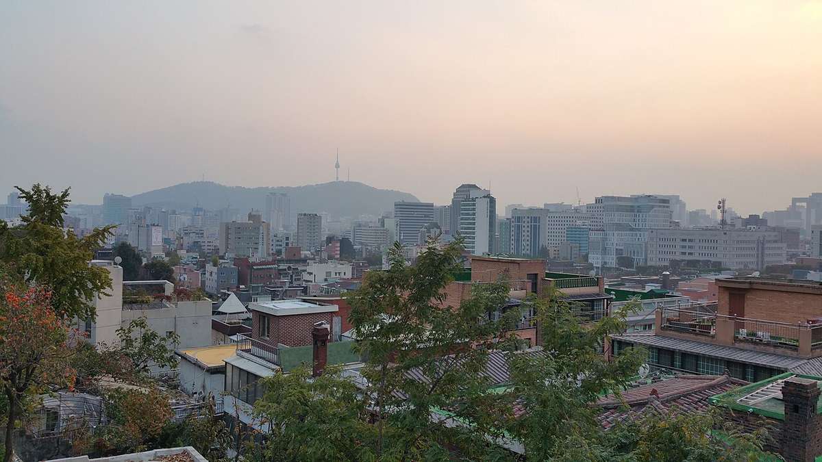
Time your climb for sunset and you can watch the city lights come on one by one from the wall. N Seoul Tower on top of Namsan stands straight ahead, and the low roofs in between cover what was once the inside of the Joseon capital. Since the wall trail appeared in "KPop Demon Hunters" in 2025, many more foreign travelers come to take photos from the same angle. Walk a little way along the wall beside the plaza and you will find several quieter lookouts.
- ›Walking the wall, inside and outOn the Naksan stretch you can switch between the paths inside and outside the wall. A wall that looks low from inside appears far higher and sturdier from outside.
More
Small gates in the wall let you pass between the two sides. The wall was built with earth banked up on the inside and a tall face on the outside, so the same wall looks completely different depending on which side you stand. When the lights come on at night, the wall becomes a band of light following the ridge. The outer path runs right beside the lanes of Ihwa and Jangsu villages, so keep it quiet.
- ›Inscribed stones and the stones of each eraRead when each section was built from the shape of its stones, and look for the inscribed stones naming the section and the official in charge. It is a hands-on way to trace six hundred years of the wall's history.
More
Roughly dressed fieldstones of every size date from Taejo's reign (1396); stones shaped like corn kernels, large below and smaller above, from Sejong's (1422); and neat squares around 60 cm on a side from late Joseon. In places all three eras are stacked one above another in the same wall. The inscribed stones were there so that if a stretch collapsed it was clear who had built it: an accountability system six centuries old. The characters are worn and hard to spot, so start looking near the information boards.
- ›Ihwa villageA village of lanes on the slope outside the wall. Murals were painted here in 2006 by a public art project in a run-down neighborhood slated for demolition, and some of them remain.
More
As the murals became famous and crowds came to take photos, residents worn down by noise and litter pushed back, and some even painted over the famous stairway murals themselves. That is why fewer murals survive today. People live in every lane. Not taking photos at front doors, not raising your voice and not sitting on the steps is how the village stays open to visitors.
- ›Seoul City Wall MuseumA free museum beside Heunginjimun, where the Naksan stretch ends. It tells the story of the Seoul City Wall since 1396: how it was built, damaged and restored over more than six hundred years.
More
Visit after the walk and you can see how the stones and inscriptions you have just passed were recorded and studied. For anyone planning to walk the whole wall, it is a good place to pick up information on each section. It closes on Mondays and at 6 p.m., so on a night-view day visit the museum first.
🚶 Self-Guided Walk
- 1Hyehwa Station Exit 2 · Marronnier ParkPass the small theaters of Daehak-ro and start climbing beside Marronnier Park.
- 2The lanes of Ihwa villageClimb through the lanes where murals remain. People live here, so walk quietly.💡 Plenty of steep steps; wear comfortable shoes.
- 3Naksan Park lookoutLook out over downtown and Namsan from the plaza on the ridge.💡 Arrive half an hour before sunset to catch both the sunset and the night view.
- 4The outer wall pathGo out through a small gate and head south looking up at the wall. Watch for where the shape of the stones changes.
- 5Seoul City Wall MuseumComing down from the end of the ridge, you reach the museum, where you can review the history of the wall you just walked.💡 It closes at 18:00, so on a night-view day do the route in reverse and visit the museum first.
- 6Heunginjimun GateThe Naksan stretch ends at the east gate. Across the road are DDP and Dongdaemun.
🧭 Visitor Info
💡 Good to Know
- Naksan is low, but the steps and slopes go on a while. With older companions, start at Heunginjimun, see the museum and follow the wall up: the gradient is gentler that way.
- Ihwa and Jangsu villages are homes before they are attractions. No noise in the lanes late at night, and no photos aimed at doors and windows.
- The wall trail doesn't stop at Naksan. The full circuit divides into four stretches, Baegak, Naksan, Namsan and Inwang; walk one a day and you will have circled Seoul.
🗺 Pair Your Visit
The Seoul City Wall was first built in 1396 under King Taejo and rebuilt throughout under King Sejong. A common exam point is that the names of the four great gates hold benevolence, righteousness, propriety and wisdom, and Bosingak holds trust, so that Confucianism's five constant virtues are written into the layout of the capital. Paired with the fact that Jeong Do-jeon designed the names and plan of Hanyang's walls and palaces, it is a staple of questions on the founding of Joseon and the move of the capital. The public art and tourism tensions of Ihwa village are not exam material, but they are worth thinking about as a case of how a modern city uses historic space.