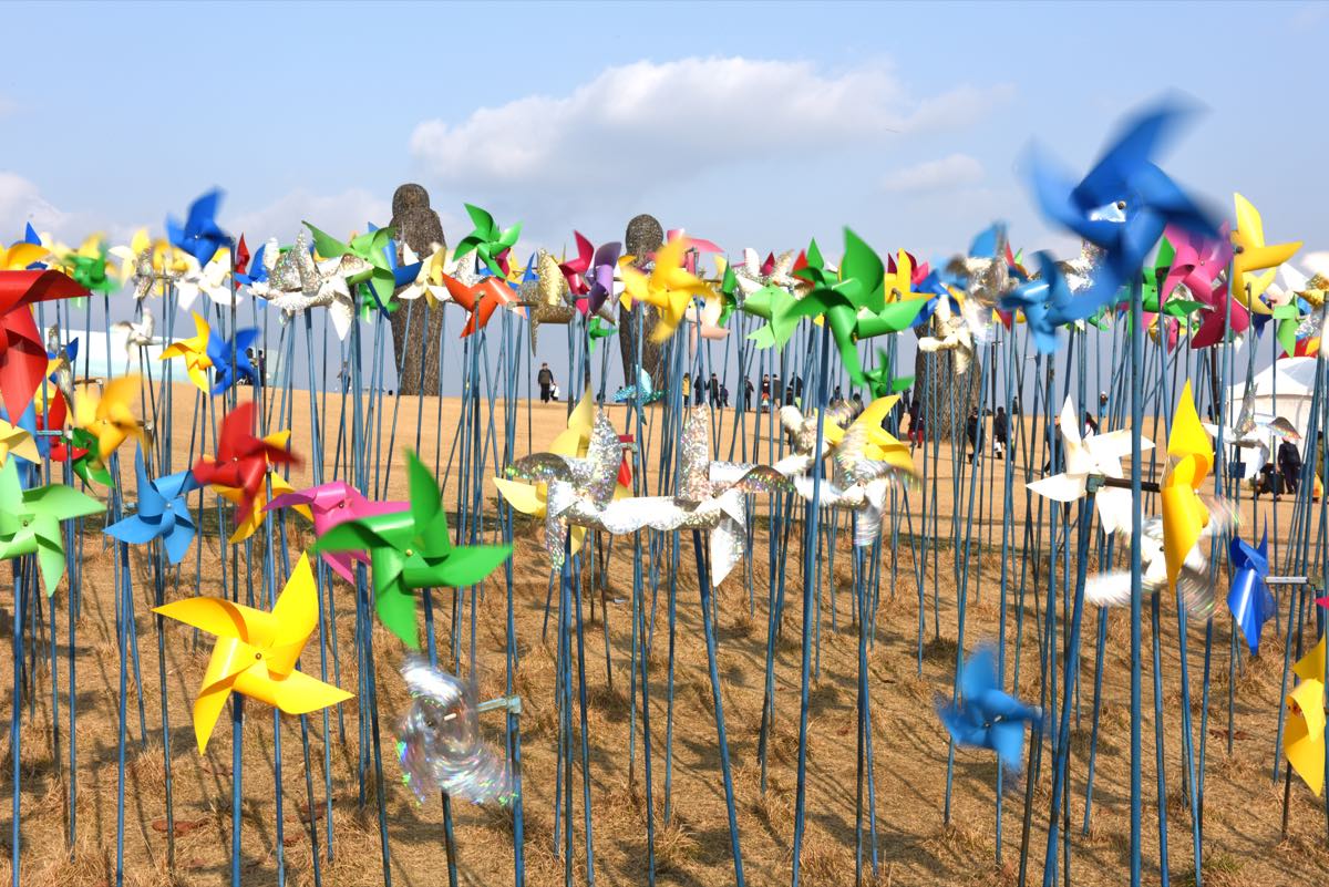
The front line of division and the world's last Cold War frontier
The DMZ is a roughly 4-km-wide demilitarized strip set between the two Koreas along the Military Demarcation Line drawn by the 1953 Armistice Agreement — the only Cold War front line left in the world. At Imjingak, the Dora Observatory, and the Third Infiltration Tunnel you can see the reality of division firsthand, and the Joint Security Area (JSA) at Panmunjom is the symbolic place where North and South face each other. Untouched by people for over half a century, it has also become, intriguingly, a refuge of rare wildlife. It is a destination where you feel Korea's modern history with your whole body.
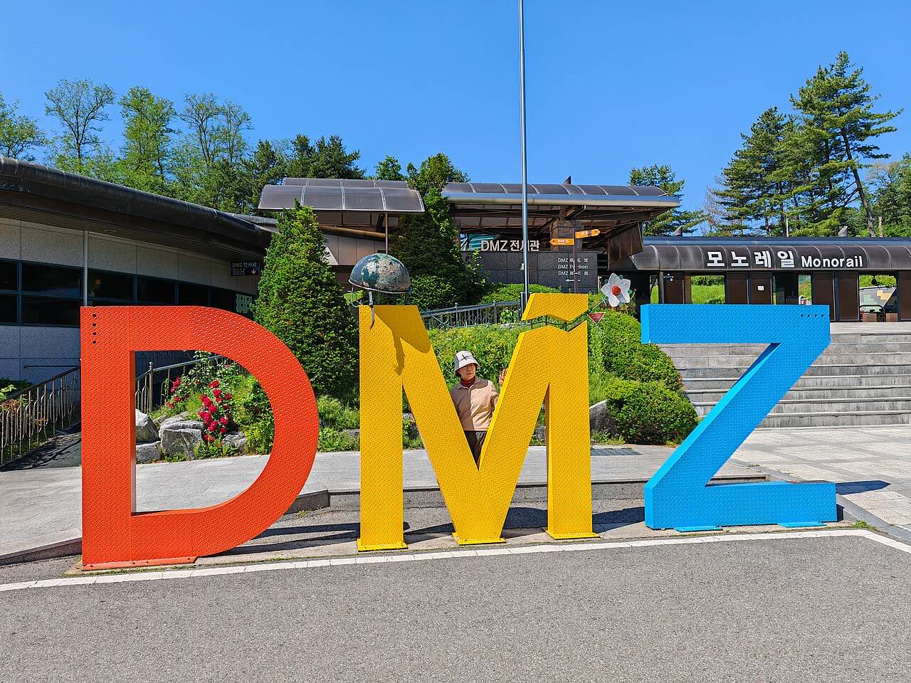
- ›Imjingak and Pyeonghwa-Nuri Park — The northernmost point civilians can freely reach, with the Mangbaedan altar for displaced families and the severed Freedom Bridge. Details →
- ›The Third Infiltration Tunnel — One of the tunnels dug by North Korea for infiltration; descending underground, you feel the tension of division directly. Details →
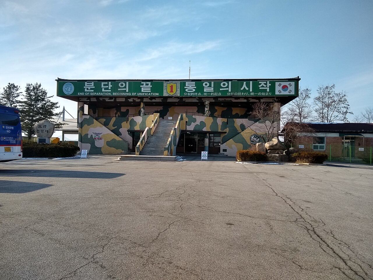
- ›Dora Observatory — An observatory looking out across the Military Demarcation Line toward North Korean territory and the direction of Kaesong. Details →
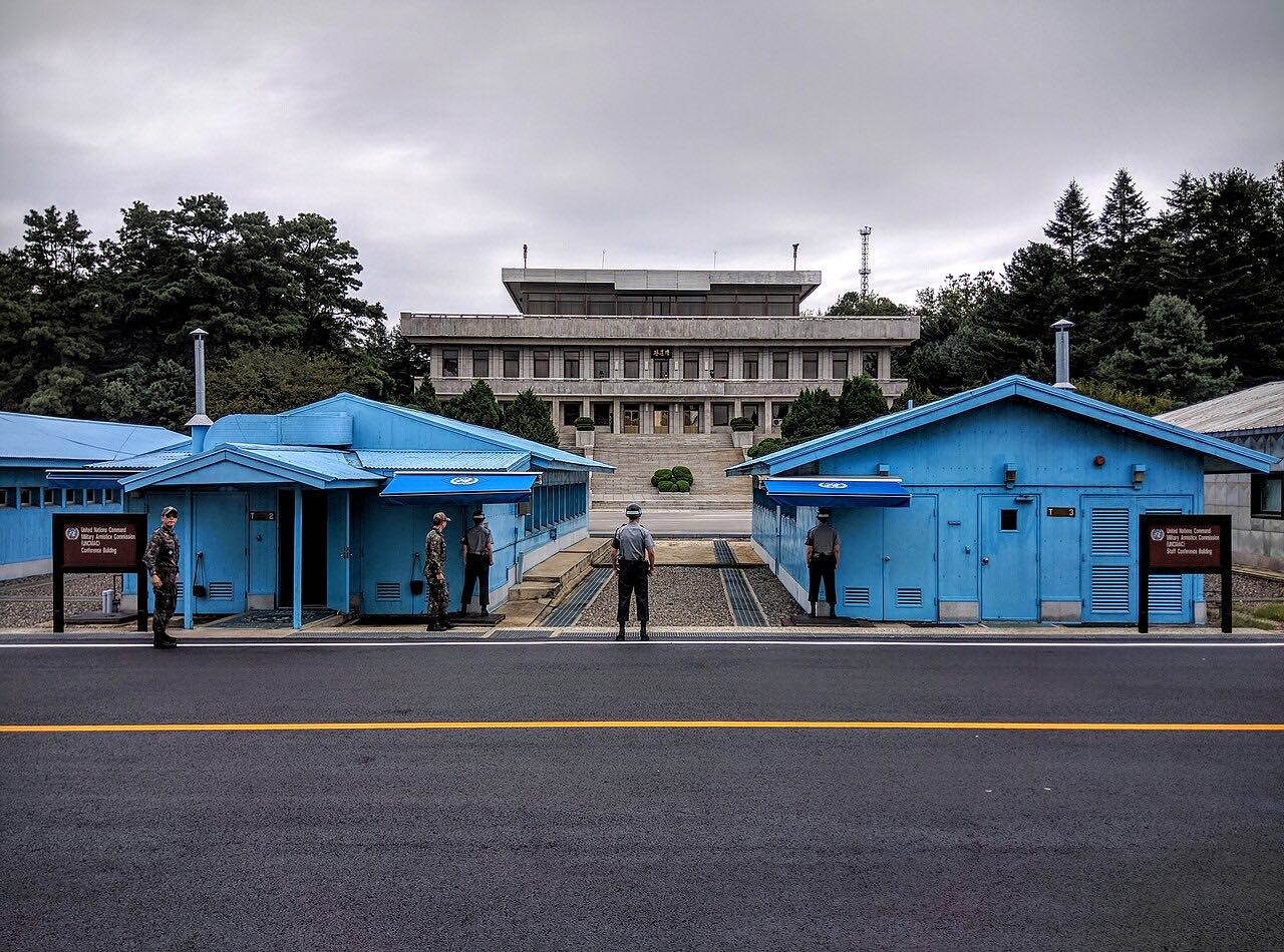
- ›Panmunjom Joint Security Area (JSA) — Where the Armistice was signed and inter-Korean talks are held; it can be visited only on a separately arranged tour. Details →
The DMZ is the demilitarized zone established by the 1953 Armistice Agreement that halted the Korean War — a symbol of the division of Korea across the Military Demarcation Line. The armistice regime and the entrenchment of division are core topics in modern history.