From prehistory to the modern era — an island where Korean history is compressed
Ganghwa Island, at the mouth of the Han River, is a place where the great scenes of Korean history are layered one over another — from Bronze Age dolmens through Goryeo's resistance to the Mongols to the modern opening of ports in the late Joseon period. In 1232 Goryeo moved its capital here to resist the Mongol invasions and held out for about forty years, carving the Tripitaka Koreana in the hope of overcoming the national crisis through the power of the Buddha. In the late Joseon era it was the stage for the French (1866) and American (1871) campaigns and the Treaty of Ganghwa — the gateway where Korea first clashed with the West and Japan. Close to Seoul, it is a popular day trip for history travelers.
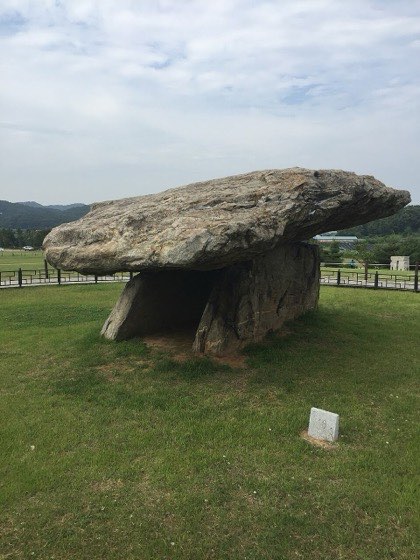
- ›Ganghwa Dolmens (Bugeun-ri) — A giant Bronze Age table-style dolmen, part of the UNESCO World Heritage 'Gochang, Hwasun, and Ganghwa Dolmen Sites.' Details →
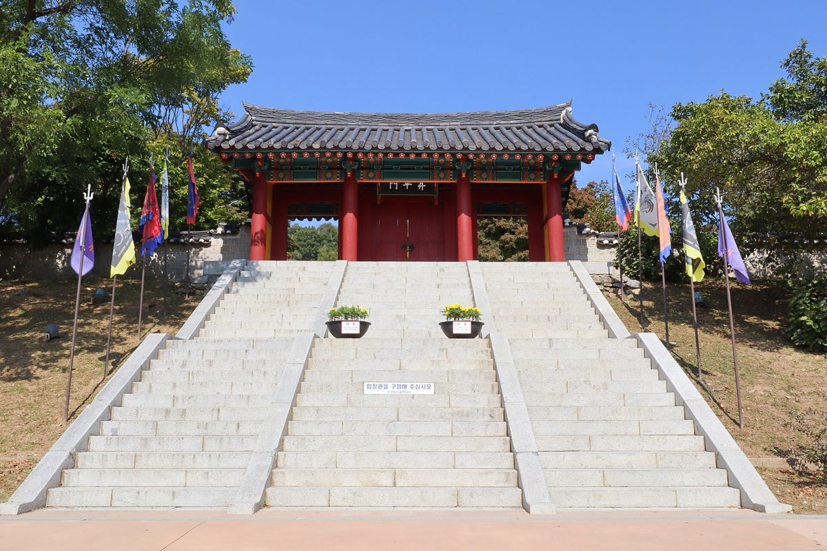
- ›Goryeo Palace Site and Ganghwa Fortress — The palace grounds and walls built after Goryeo moved its capital here to resist the Mongols, preserving traces of forty years of struggle. Details →
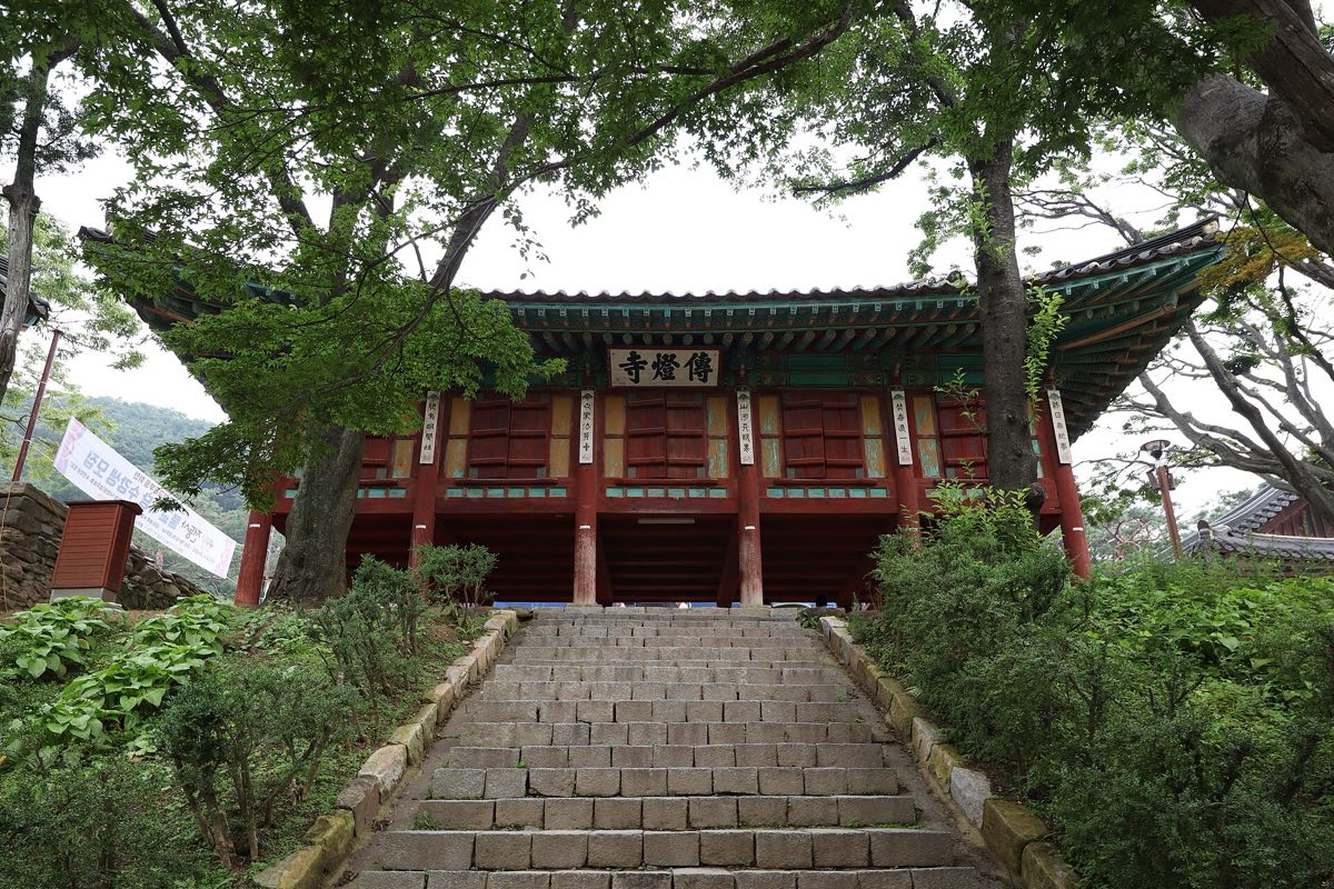
- ›Jeondeungsa Temple — An old temple set within Samnangseong (Jeongjoksanseong) Fortress, also the site of the battle that repelled French forces during the 1866 campaign. Details →
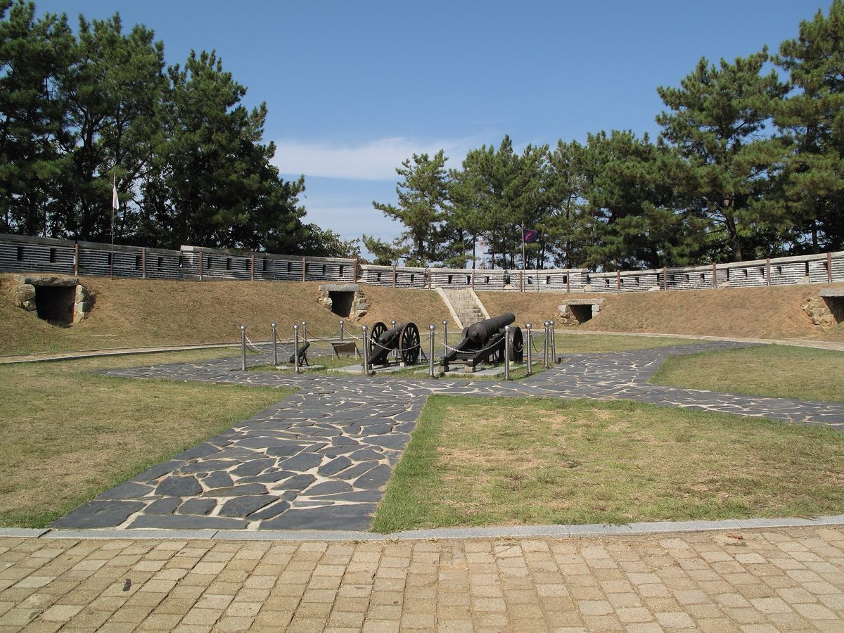
- ›Gwangseongbo and Chojijin — Coastal garrison forts that guarded Ganghwa, the scene of clashes with modern foreign powers such as the 1871 American campaign and the Unyo incident. Details →
Ganghwa was the base of resistance where Goryeo moved its capital against the Mongols in 1232 and carved the Tripitaka Koreana, and later the stage for the 1866 and 1871 campaigns and the Treaty of Ganghwa (1876). With its Bronze Age dolmens added, prehistory, Goryeo, and modern history all gather on a single island.